bob wall
We had an amazing response - with more than 27 thought leaders responding to our question, and counting! The conversation will continue at Food+Tech Connect on Wednesdays, but be [...]
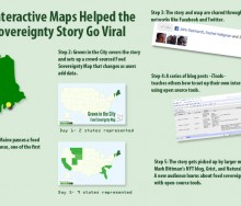
This year we witnessed first hand the power of open source tools to quickly spread the word about food system policy and planning. When Sedgwick, Maine passed the first food sover[...]
In honor of our one-year anniversary, Food+Tech Connect is asking leading food and technology innovators – how can information and technology be used to hack the food system?[...]
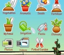
Bob Wall reviews the Potted Garden iPhone app.[...]
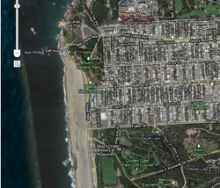
On Thursday I discussed the loading of the data from the spreadsheet into a map. While the map is free, it is obviously limited. There are not nearly as many options for displaying[...]
Yesterday, I discussed the method for us to access our Google Doc data. Today I am going to speak of what we call the “presentation layer.” This layer is the actual webpage that vi[...]
14 Apr 2011
UncategorizedIn yesterday’s installment, I spoke of how we decided to store our data, what freeing the data means for us and for others, and how we found a simpler data solution that worked for[...]
13 Apr 2011
UncategorizedYesterday, in part 1, I outlined how quickly the world of technology is changing. John set the bar by accessing open source code from Google and said: “Look, the map is up. Now wha[...]
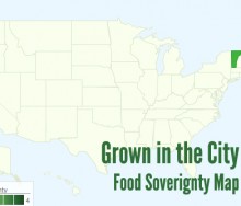
In this five part series, Bob Wall breaks down how created the interactive mapping system for the food sovereignty, urban agriculture zoning, and food policy council maps. In part [...]
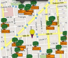
Have you ever wanted to scavenge for your own edibles? Maybe you passed a neighbors apple tree and saw rotting fruit on the floor or were in a neighborhood park and wondered if any[...]
Please meet our newest contributor Bob Wall. Bob recently launched iTools: Urban Ag Technology, a weekly column on Grown In The City, that focuses on the intersection of urban agri[...]
18 Feb 2025
, 0 Comment
17 Dec 2024
, 0 Comment
Copyright © 2015
Food+Tech Connect. All Rights Reserved. Made in New York.

